Professional Land Surveyors for Ventura County & Surrounding Areas

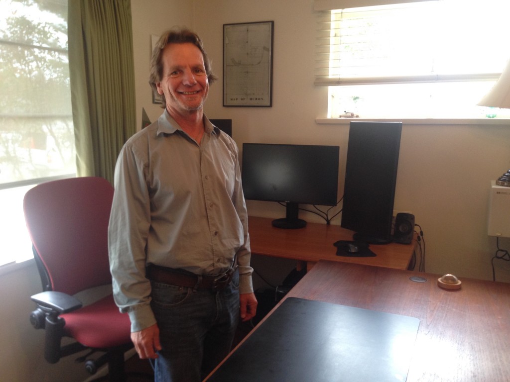
I’m Gary Salmen, LS.  Welcome to my website.

I founded GP Salmen & Associates in 1990 so that I could practice Land Surveying cost-effectively with a strong emphasis on service.

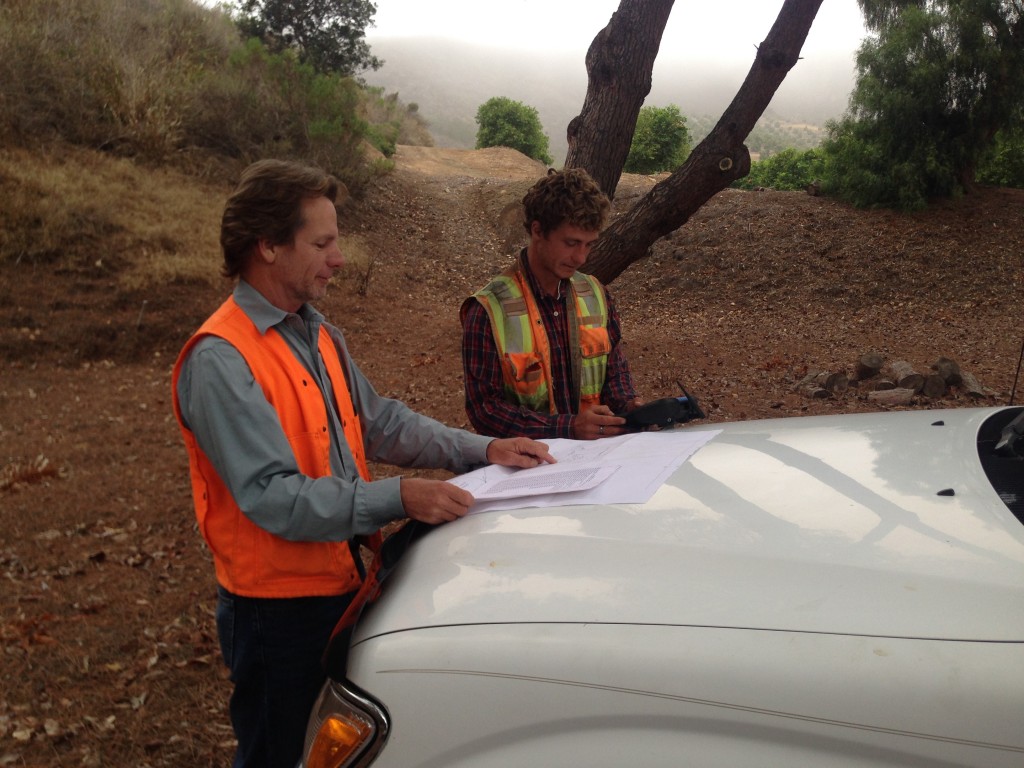
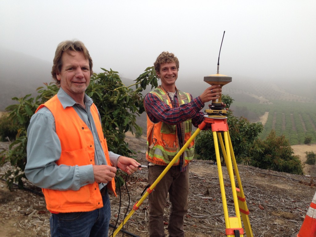
25 years later I and my staff, which now includes my son Travis, are continuing to do exactly that. We provide quality land surveys of many kinds, including boundary surveys, topographic maps, ALTA (ALTA/ACSM Land Title) surveys, FEMA certifications, and construction surveys, all quickly and all cost effectively, throughout Ventura County and neighboring communities, from Calabasas to Camarillo, Ojai to Oxnard, in Simi Valley, Thousand Oaks, and Malibu.

Another forte of GP Salmen & Associates is our ability to process projects smoothly through the local City and County Agencies, including Records of Surveys, Lot Line Adjustments, Certificates of Compliance, and Parcel Maps.  That is because, for many years, I was a contract consultant to both the City of Ventura and the Ventura County Surveyor’s Office, plan checking the work of my fellow land surveyors.

At GP Salmen & Associates our focus is helping you decide precisely what your land surveying needs are.  We want to satisfy  all of your land surveying needs, no more and no less, so that all of your land survey needs are met completely the first time, with minimum cost.

We help you determine your project’s optimal scope of work; then we make hard and fast commitments as to scope of work and timing; then we keep those commitments.

Many Ventura County Real Estate and Architectural professionals, Developers and Builders, and Property Owners will attest to the fact that we are continuing to provide them with the best Land Surveying service available.  That is exactly what I set out to do when I founded GP Salmen & Associates 25 years ago, and continue to do today.

I look forward to hearing from you about your land surveying needs.
GPSalmen & Associates Clients

architects-thumb

ARCHITECTS

GP Salmen & Associates is a leading professional land surveyor in Ventura County. We take pride in our relationships with Ventura County architects…
realtor-thumb

REALTORS

I’ve watched the services Realtors provide to their clients grow enormously, together with increased pressure on timing. That is why GP Salmen & Associates…
builder2-thumb

BUILDERS

Ventura County builders often require construction staking. Construction staking is a unique branch of land survey because it involves the immediate…
property-owners-thumb

Wherever your property in Ventura County: from Camarillo to Calabasas, Thousand Oaks to Malibu; Oxnard to Ojai, we help you make the…

Frequently Asked Questions

1. How do I choose a Ventura County Land Surveyor?

First of all, do just that, choose a local Ventura County Land Surveyor; not one of the internet “brokers.”

I also suggest talking to a minimum of 2 Ventura County Land Surveyors. Maybe 3.

Be sure you are speaking with a Licensed Land Surveyor.  Their advice can be expected to be better than that from a staff person.

Finally, all Ventura County Land Surveyors are different. Trust your intuition and choose the one that you feel most comfortable with.

2. Can I get an approximation of my property line locations from a Land Surveyor?

Besides being against California Boundary Law and State Board Rules, this “cost-saving?” option is not a good idea for 2 more reasons:

A Land Surveyor cannot tell you the amount of approximation, in other words, the client has no idea how close to the true property line the survey is.  Therefore, the client has received nothing for their time and money!

The approximation could result in the client giving up the use of land, or creating an encroachment (see question 3 below) to be dealt with later and at an expense several times that of the “cost-savings.”

3. What is an encroachment?

Encroachment is a legal term for the situation in which a property owner is using a neighbor’s property as evidenced by the placement of improvements on the neighbor’s property.  The encroachments that I have seen most often in Ventura County take the form of block walls and fences, driveways, and accessory structures.

4. I believe that my neighbor is encroaching on my land. Who do I talk to first, an Attorney or a Land Surveyor?

I suggest that you talk to a Licensed Land Surveyor first.  While there are several Attorneys in Ventura County qualified on boundary matters, a land survey may, at best, eliminate the need for an Attorney, or, at least, provide a quicker and clearer understanding of the matter for the Attorney. While the Land Surveyor may advise you to talk to an attorney right away, at least you haven’t spent time and money unnecessarily.

I have personally experienced several instances where my client (and their neighbor), have spent time and money on attorneys only to have the matter resolved at once with a court-ordered land survey.

5. Can a Land Survey be proactive?

Yes. Knowing the locations of your boundaries (property lines) can help you maintain your property free of future encroachments, and provide you with the maximum area use of your land.

Or, the survey may disclose existing encroachments so that you can take the simple legal step to prevent the statute of limitations (only 5 years in California!) from expiring and the encroached-upon portions of your land becoming subject to prescriptive rights or adverse possession.

I’ve had occasions of another proactive use of a land survey: the client is a buyer of a property in escrow.  With several of these surveys, encroachments, incorrectly placed easements, and or other unresolved title matters were disclosed. In price negotiations, the information proved to be of value exceeding the survey fee many times over.

6. What determines the Land Surveyors fee in Ventura County?

Interestingly, it may not be what one thinks. While the size of the parcel and lengths of the property lines, steepness of terrain and heavy vegetation can all be factors, there are other overriding considerations:

(A) How is the legal description for the parcel written? Many legal descriptions are poorly written by persons outside of the Land Survey Profession (now illegal in California with one exception, SCE, who lobbied for an exclusion around it and continues to prepare defective legal descriptions).

A defective legal description may not have an established-on-the-ground point of beginning, it may conflict with the locations of the same lines from an adjoining legal description, or, it may simply have mathematical errors, or all of the above.

The result of a defective legal description is additional time on the part of Land Surveyor to resolve the issues.  Fortunately, Ventura County legal descriptions tend to be less difficult than those in our neighboring Santa Barbara County.

(B) What is the availability of survey monument control?  Survey monuments (see question 7 below) provide the starting points for Land Surveyors.  Furthermore, survey monuments are evidence to be used for proportioning property lines or controlling the locations of property lines independently described in the legal description from the overall boundary mathematics (metes and bounds descriptions).

This seems to be a significant problem for many Ventura County parcels, more so than in Los Angeles or even Santa Barbara County.  Fortunately, recent awareness of the problem by some of the local agencies, including the City of Ventura and the County of Ventura, has resulted in the protection of survey monument control from further destruction by construction activities.

The result of a lack of survey monument control is additional time on the part of the Land Surveyor to expand the survey further from the subject parcel.

7. What is a Monument?

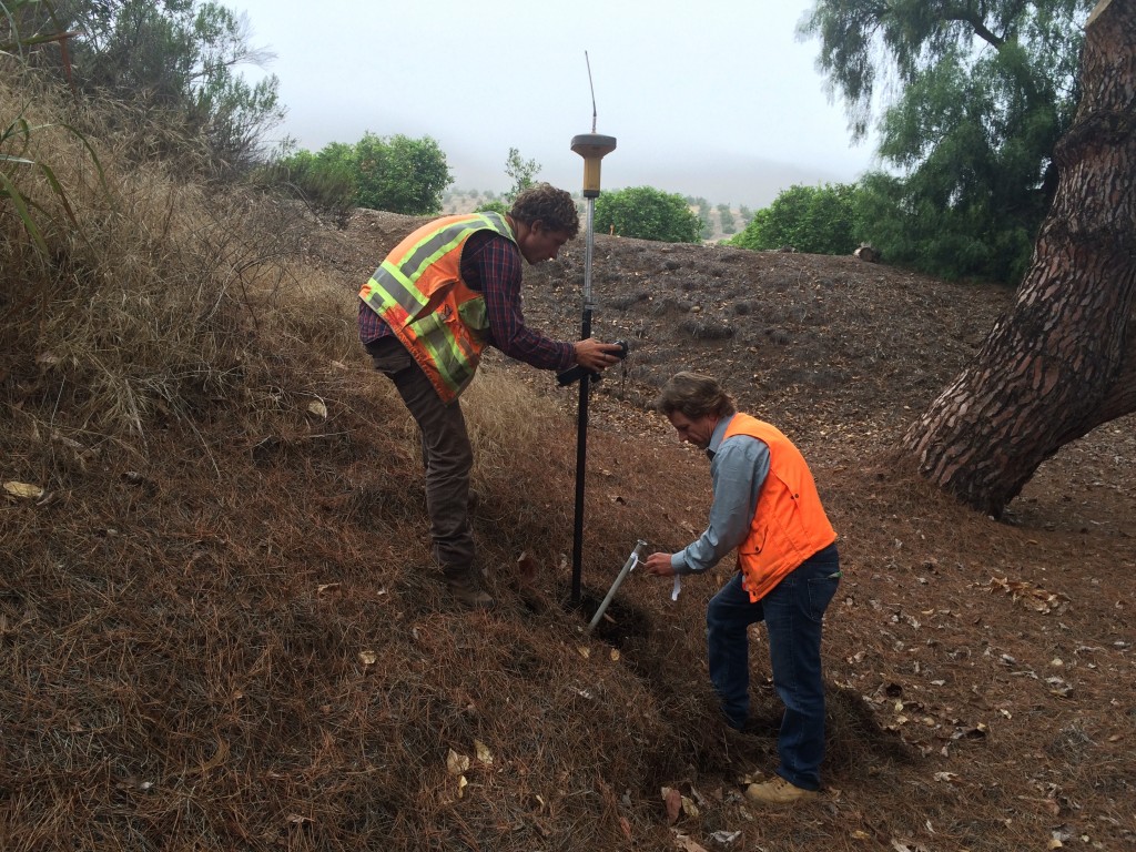
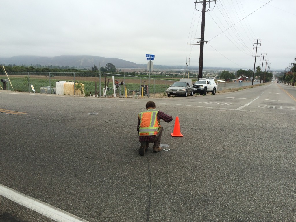
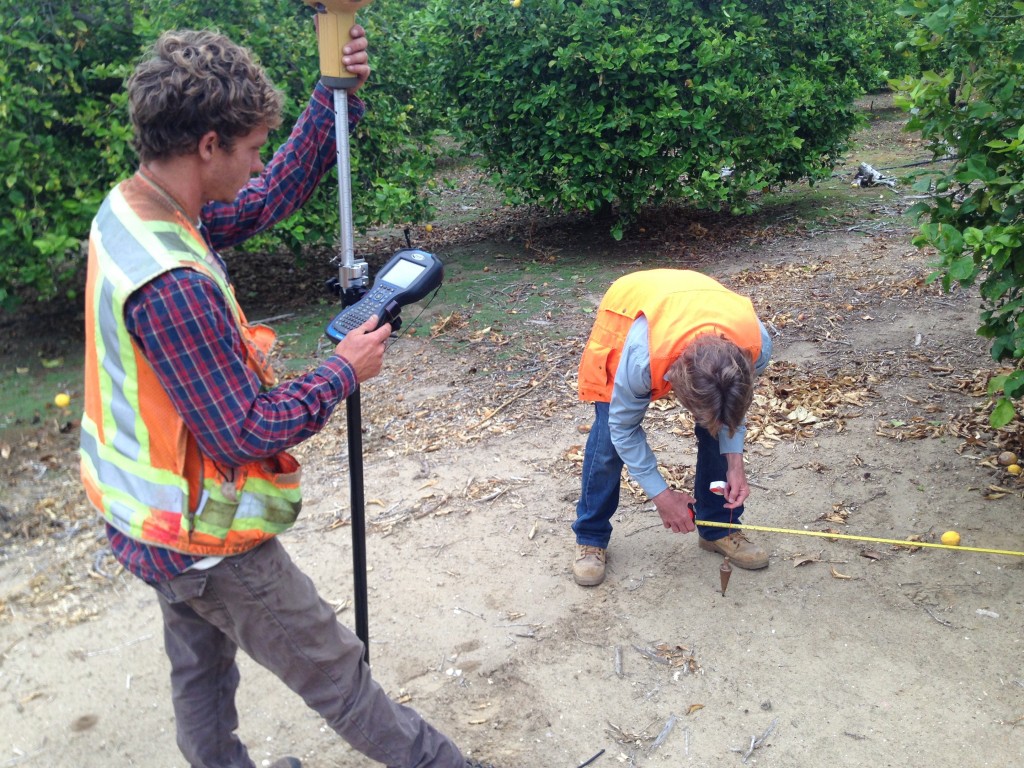
Monuments are markers in the form of iron pipes pounded vertically into the ground, spikes or nails in the street, lead and tags or chiseled crosses on sidewalks and curbs, or wood stakes (which are not acceptable as a “permanent” monument per California Boundary Law and State Board Rules but they are still acceptable as evidence).  Monuments may also be of other characteristics. Monuments mark the locations of property corners.  Sometimes, the term property corner is erroneously used when the term monument applies, e.g. “We are setting property corners” should be “We are setting monuments at the property corners.”

8. What is a Topo?

Topo is colloquial for Topographic Survey, Topographic Map, or Topographic Survey Map.  A Topographic Map will show the topography of the land, which is the elevations of the ground surface and the natural features, e.g. trees and outcrops, and the man-made features (improvements), e.g. buildings and roads.

Occasional, I will hear the word “Topographical” which is proper English but rarely used in Ventura County.

The Topographic Survey Map will show the elevations of the ground via spot elevations, especially in flat areas and on hardscape,e.g. concrete driveways and patios, and asphalt roadways including their curb and gutter elevations.  Or, the map will show the elevations via contours, which are lines representing a constant elevation and are a certain vertical distance apart called an interval, e.g. one foot contour interval or forty foot contour interval as in the case of many old USGS quad sheets.

I’ve heard the term “topos” erroneously substituted for the word “contour.”

The Topographic Survey Map is an important tool for design professionals, e.g. civil engineers and  architects, who will use it to plan the locations of new improvements with respect to clearances, water runoff, utility locations or other considerations.

9. What Technical Equipment do Land Surveyors use?

Land Surveying, whether in Ventura County or across the planet, has been highly impacted by technology.

When I began land surveying, we used steel tapes to measure distance and theodolites (transits) to measure angles, much the same as colonial Land Surveyors George Washington and Thomas Jefferson.

In the 1970’s, electronic distance measurement (EDM) became popular. The EDM emits an invisible laser beam to a reflector, which is simply the inside of a mirrored cube so that the laser beam is always reflected back to the source.  The EDM measures the time elapsed for the laser beam to return, and calculates the distance.

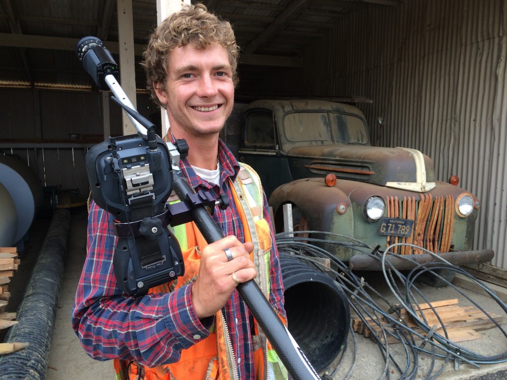
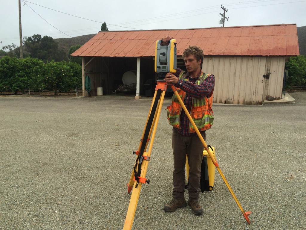
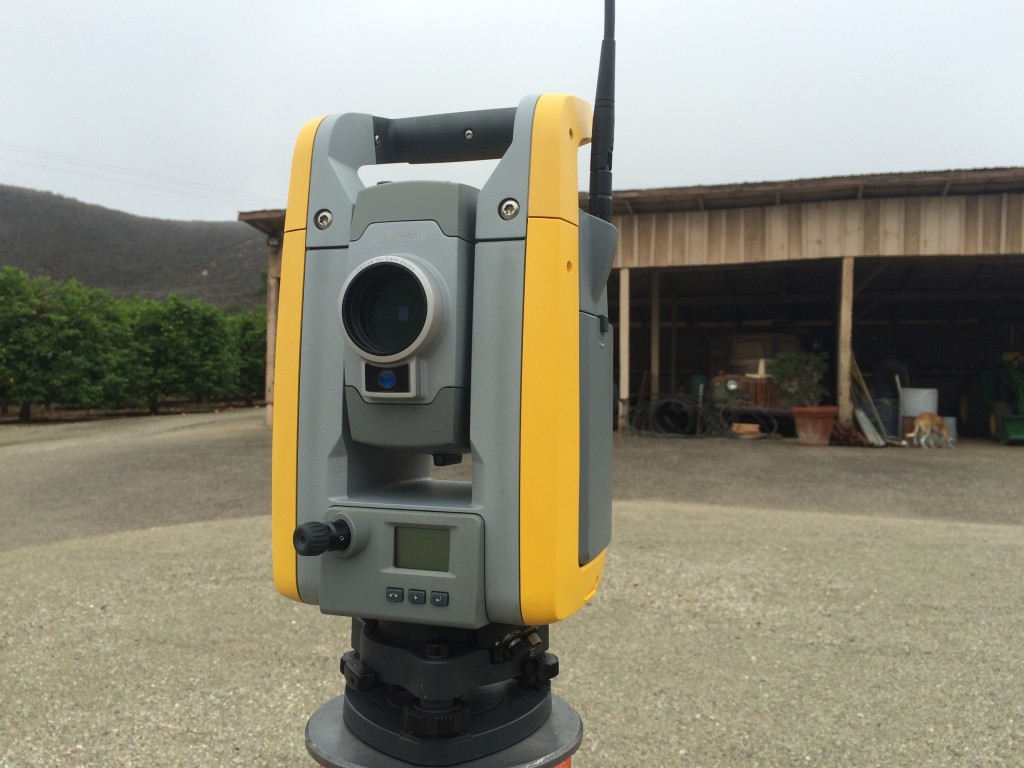
By the 1980’s, electronic total stations with built-in EDMs began to replace the theodolite. The total station gives Land Surveyors the advantage of storing each shot point in a hand held computer, called a data collector, tethered to the total station. In this way, manually writing down the angles, distances, rod heights, and descriptions for each shot is eliminated, as the data collector does just that, collects all of the field data.  On the flip side, manually entering all of the shot points in the office is eliminated. The same data collector is tethered to an office computer and voilá, all the shots are plotted on a computer screen for further processing to a finished survey product, e.g. topographic survey map or boundary survey.

Now, robotic total stations have eliminated the necessity of a person pointing the scope at the reflector. Now, that one person with the robot can do the work previously done by 2. That does not necessarily reduce the overall time in the field and it certainly does not reduce the effort expended by that one person.

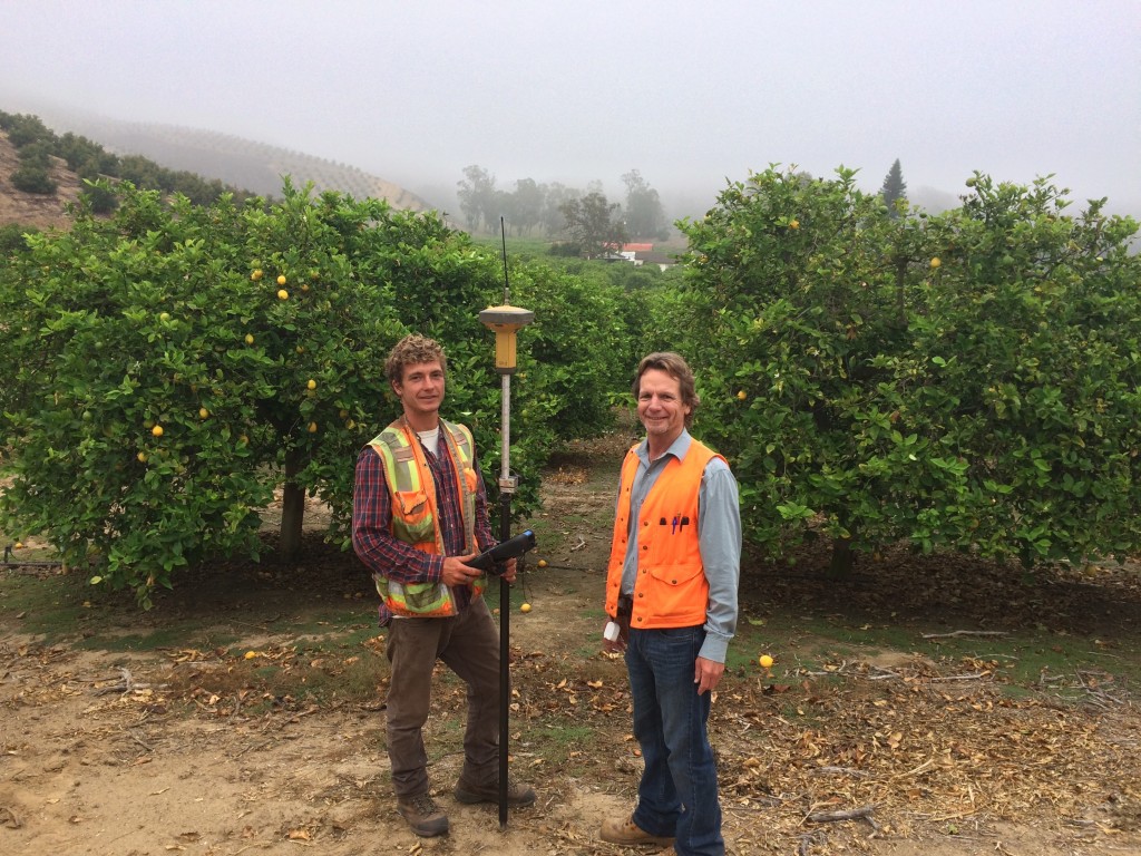
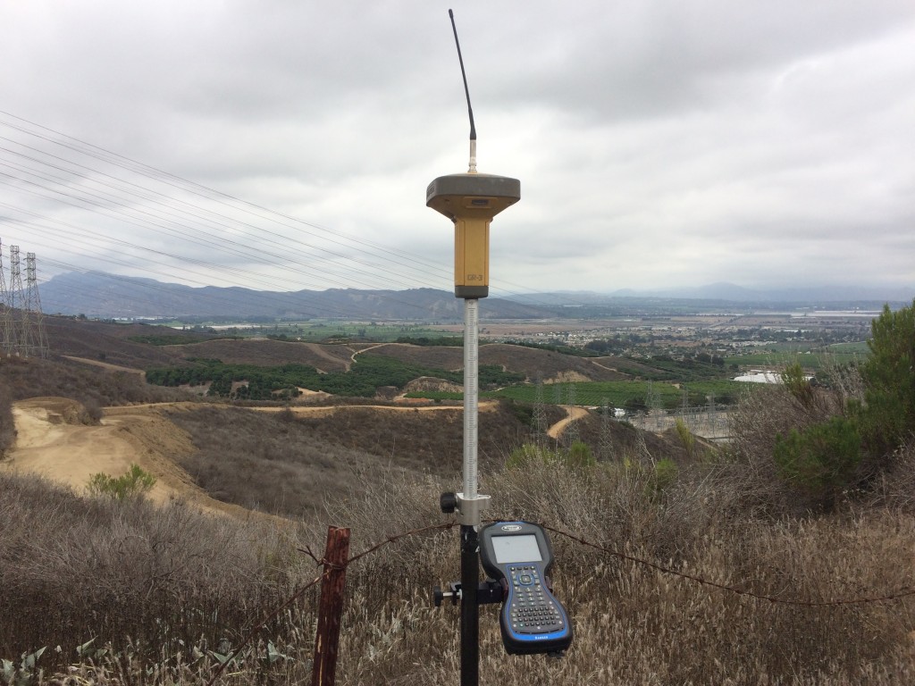
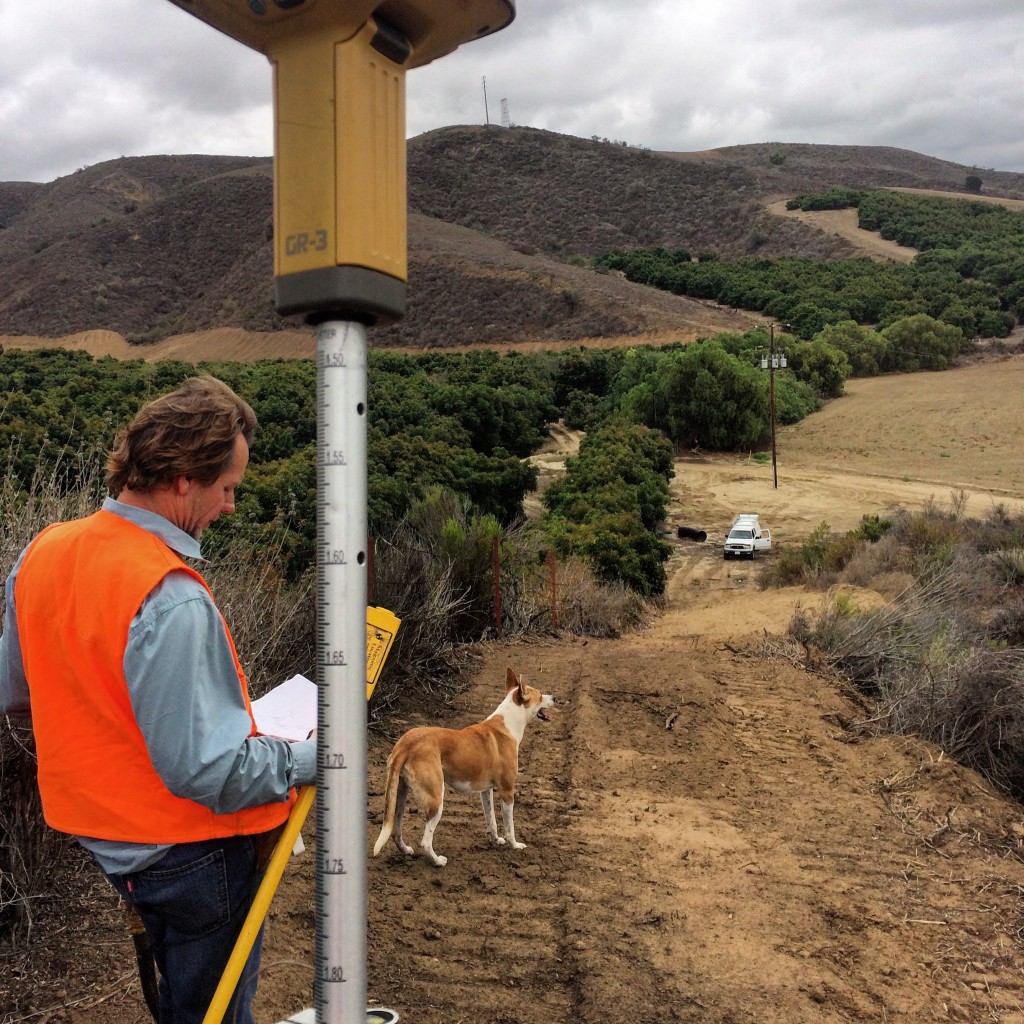
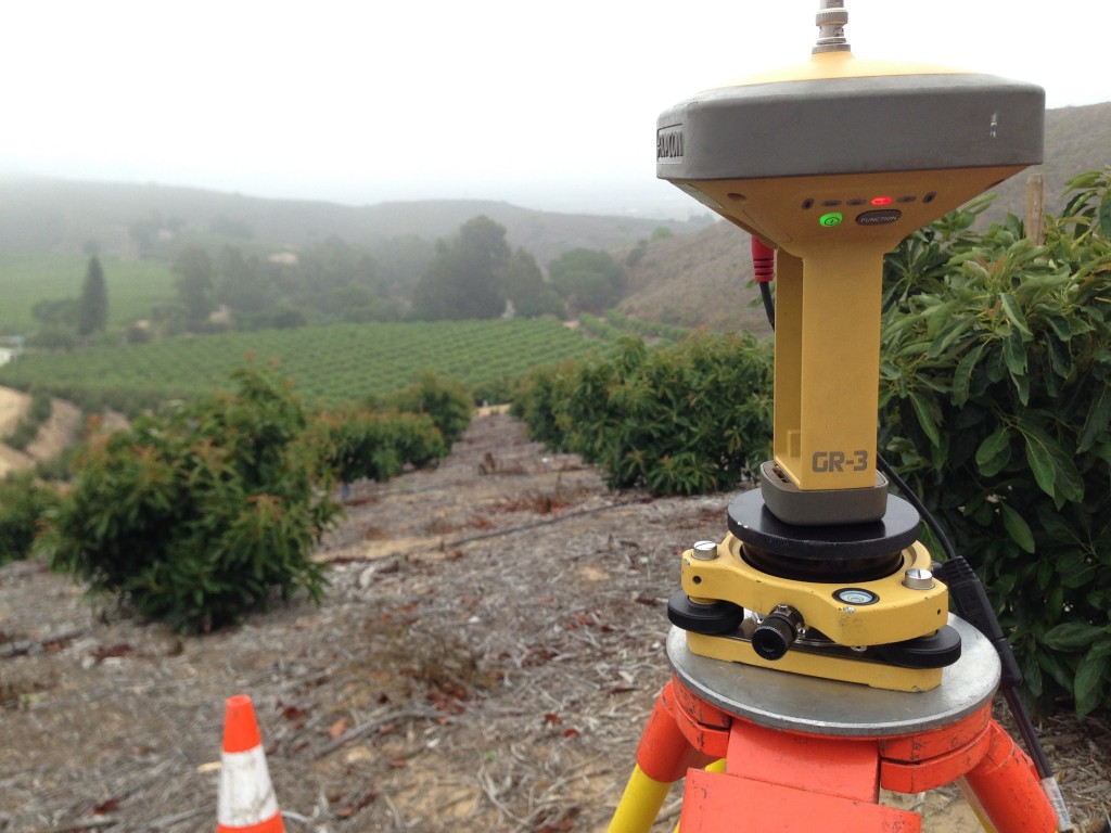
Other developments are scanners and precision GPS receivers, both of which may also eliminate the need for a 2nd crew member. Scanners sharply reduce the time in the field but increase office time considerably.  The advantages are that the office is a controlled environment; and that extra data is available from the scan.

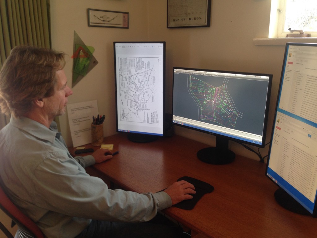
In the office, hand plotting was replaced long ago with computer aided drafting (CAD) programs.

With all of this wonderful technology, the human factor remains.  A qualified Land Surveyor must still supervise the project (and the machinery).

10. Do Land Surveyors go to school?

University of California Fresno has a surveying curriculum, as do other California Colleges. The nearest complete curriculum to Ventura County is at College of Canyons, Santa Clarita.

Most Ventura County Land Surveyors are trained though experience (on-the job training).  For instance, I learning Land Surveying first from my father, and my son is learning from me.  Both my son and I have had other job experience.

California Licensed Land Surveyors are licensed with the Department of Consumer Affairs, Board for Professional Engineers, Land Surveyors, and Geologists “State Board.”  The State Board requirements for licensure are strict, requiring sponsorship, experience, education, and passage of the notoriously difficult one-day exam.  One year, in the entire state, only 8 applicants passed!

6 years of the proper types of experience can be used as a substitute for education.

So, the short answer to question #10, for most Licensed Surveyor business owners here in Ventura County, is no.

One of my goals with the foregoing 10 FAQs is to provide a bit of education about Land Surveying in Ventura County, and in general. If you have questions and are not finding answers, I invite you to email an inquiry to me.  Please put “Website FAQ Inquiry” in the subject line.

Services We Offer

Boundary Surveying

Property owners frequently want to know the true location of their property lines because they are planning to erect fencing or build block walls along the parcel or lot property lines, also known as boundaries…

Record of Surveys and Corner Records

After performing a Boundary Survey, the Land Surveyor may file with the Ventura County Surveyor an annotated diagram, called a Record of Survey, describing the evidence and procedures that the Land Surveyor used in the performance of the survey...

Topographic Surveys

A Topographic Survey is a map showing the existing ground elevation, together with natural and man-made features, within a particular site. Examples of natural features are: water bodies, trees, and outcroppings...

Construction Surveys

Construction Surveys, or Construction Staking, is required by contractors and builders for large and small scale building projects, so that the new construction is built in the correct location, horizontally and vertically (line and grade) according to the approved plans…

Easement Survey

Easement Surveys and Easement Staking may become necessary for several reasons:
One reason for an Easement Survey may be to check that existing improvements, whether a driveway or utility line, or other physical entity…

Development Surveys

Development requires several types of Land Surveys for several entities. Design professionals will require topographic mapping. Public Agencies may require mapping of land use within a specified radius of the proposed development. Ventura County Planning…

Parcel Maps

Parcel Maps are maps for the legal subdivision of a larger parcel into 4 or fewer smaller parcels. The requirements are rigidly set forth within the California Subdivision Map Act and further defined by Ventura County and/or local City Ordinance…

Condominium Surveys, Condominium Maps, and Tract Maps

Condominium Projects will require two additional types of surveys besides a topographic survey and the possible radius mapping described in the Development Surveys Section above…

Lot Line Adjustments

Lot Line Adjustments are considered by the California Subdivision Map Act and Ventura County and local City Ordinance as a type of subdivision…

Height Surveys

Ventura hillside areas may necessitate the requirement for a Height Survey so that new construction is within the height restrictions set forth by Ventura County or local agency ordinances…

ALTA Surveys

ALTA Surveys, formally known as ALTA/ACSM Land Title Surveys, are often required by mortgage lenders and title insurers. The lender and title insurers are looking for physical defects and/or title defects affecting the property…

FEMA Elevation Certificates

After Hurricane Katrina, FEMA redefined the flood zones (flood plains) for much of the entire United States. Subsequently, insurance companies offering flood insurance required new elevation certificates...

Contact GPSalmen & Associates